Dear hiking friends,
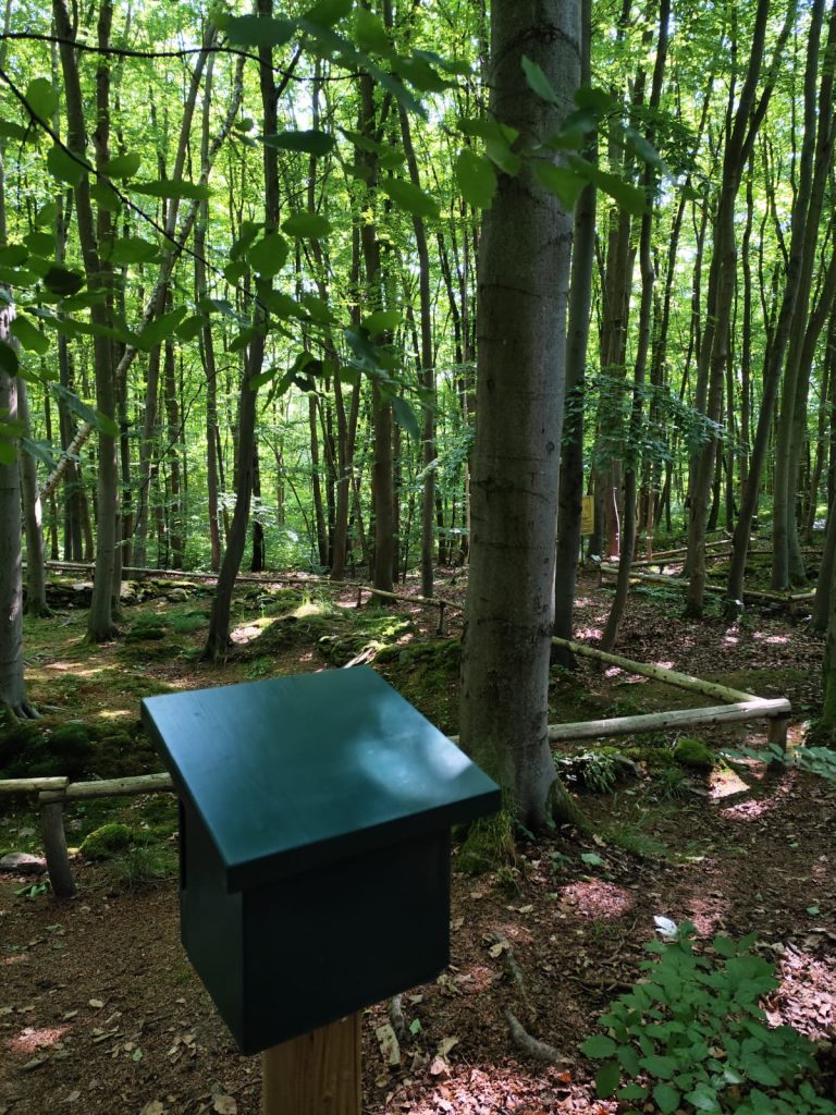
The hiking stamp box has reached its 2nd station for this season today and is already waiting for the first hikers.
Hohenrode is a medieval deserted settlement in the area of the present-day village of Grillenberg. It was archaeologically investigated between 1935 and 1937. The settlement can be dated to the 12th to 14th century. Based on the remains of the walls
the ground plans of the medieval farmsteads are clearly visible.
We recommend starting the hike from the Grillenberg hiking parking lot and following hiking trail 60b, marked with a red horizontal line, to the Hohenrode deserted settlement.
It is also possible to use the Pferdeköpfe parking lot and follow the trail from Kohlenstraße to Köhlerplatz. Then turn onto hiking trail 60 b, marked with a red horizontal line, which leads to the Hohenrode deserted settlement.
📍Coordinates
32 U 0659442 5712798
N 51.543726 E 11.299354
We hope you enjoy your hike!
Your team of the Harzer Wandernadel👣