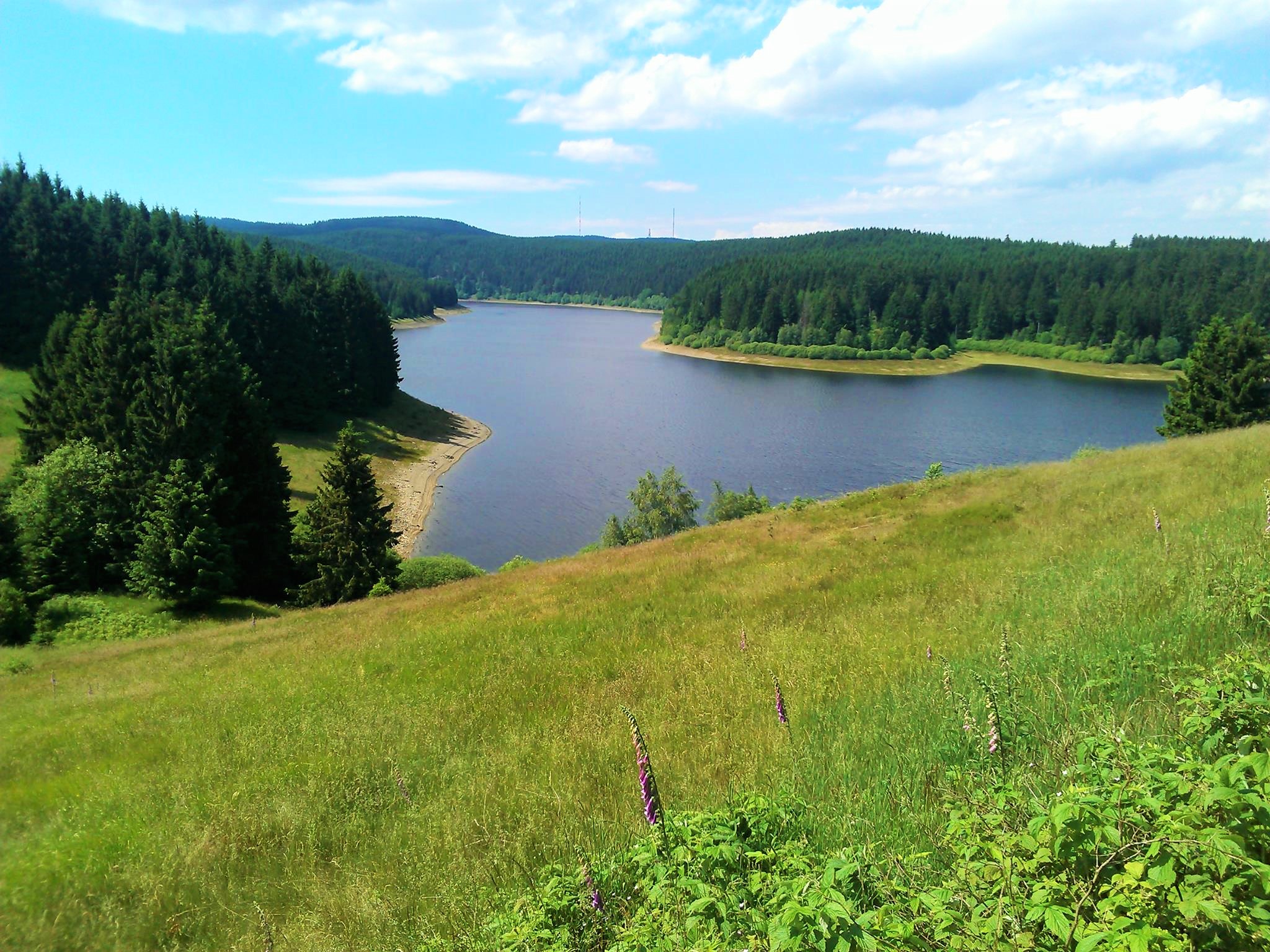
The Eckertalsperre is idyllically nestled in the Harz landscape between Bad Harzburg and the Brocken.
The reservoir is used to supply drinking water to the cities of Braunschweig, Wolfenbüttel and Wolfsburg. The water is piped to the Lewerberg elevated reservoir near Liebenburg, where the drinking water from the Granetal dam also arrives. From there, a pipeline continues to Thieder Lindenberg and on to the cities of Braunschweig and Wolfsburg.

At the time of the division of Germany, the inner-German border ran through the middle of the reservoir and dam, two thirds of which was only accessible to the public on the western side. The eastern part of the dam crest was separated by a wall and barbed wire. The former border column has been preserved and several information boards have been added.
The Eckertalsperre was voted the most beautiful stamp site in 2007 by our hiking friends.
The shortest access route starts at the Taternbruch parking lot just behind the Radau waterfall at the end of Bad Harzburg in the direction of Torfhaus. From the parking lot, there is a clearly signposted hiking trail that leads directly to the dam.
The hike can be perfectly combined with other stamp points to form a circular tour, e.g. Skidenkmal HWN 19, Molkenhaus HWN 169, Rabenklippe HWN 170, Kreuz des deutschen Ostens HWN 122, or Aussichtsreich HWN 121.
