The Trudenstein granite cliff (736 m above sea level) lies between Drei-Annen-Hohne and Schierke.
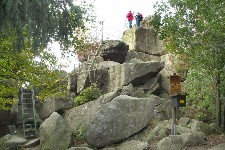
The name is derived from „Trute“, which means witch or sorceress. As early as July 1, 1894, the Harzklub made the boulder accessible via iron ladders and thus made the wonderful view of the Harz mountains possible.
The best starting points for a hike to the Trudenstein are from Schierke via the Quesenbank or from Drei Annen Hohne via the Glashüttenweg. You can also continue the hike to Ahrensklint HWN 13 and on to Gelben Brink HWN 22 on Brockenstraße.
