The „Anhaltinischer Saalstein“ is a rocky cliff and is located in the nature reserve of the same name approx. 3 km south of Bad Suderode.
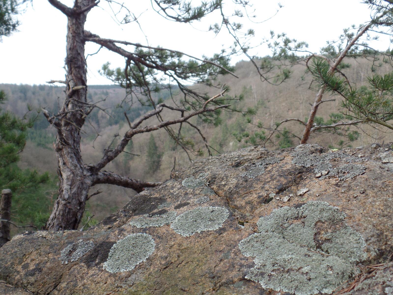
The small nature reserve protects a rock heath pine forest with pale hawkweed and the very rare bearberry on the rocky cliffs and boulder slopes, which is untypical for the Harz Mountains.
Until 1918, the Anhalt Saalstein and the border trail, which is also partly designated as a „forest botanical hiking trail“, marked the sovereign state border between the Duchy of Anhalt and the Kingdom of Prussia. Opposite, on the other side of the „Cold Valley“, lies the „Prussian Saalstein“. The name „Saalsteine“ is derived from the late medieval Salbücher, which were a register of property and service rights.
From the parking lot below the sports field in Bad Suderode, the trail leads past the rock cellar and the Lessing Cave, an old mining tunnel, to a crossroads in the cold valley. From there, a signposted path leads steadily uphill to the stamp site.
