The highest point of the Ramberg is the Viktorshöhe (581 m above sea level), on which the „Große Teufelsmühle“ and the „Kleine Teufelsmühle“ are located. The name Viktorshöhe goes back to Prince Viktor Friedrich von Anhalt (1700 – 1765), who owned a hunting lodge below the mountain.
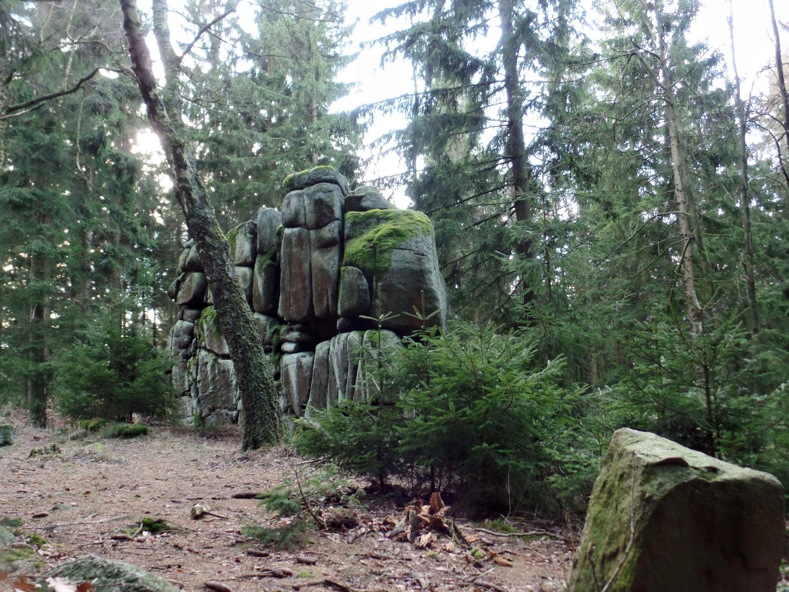
The surface monument is a group of granite rocks on which the so-called wool sack weathering is clearly visible. The interaction of physical and chemical processes results in rounded-edged blocks of rock that lie stacked on top of each other like pillows, mattresses or even wool sacks
A miller made a pact with the devil. The devil was to build him a mill on the Ramberg in just one night. In return, the miller was to pledge his soul to the devil for 30 years. However, as the miller was afraid of the devil, he removed an important stone from the building shortly before completion. The devil became furious, tore the mill down again and killed the miller with one of the boulders.
Vom Wanderparkplatz in der Nähe des Kurparks in Friedrichsbrunn erreicht man die Viktors-höhe über den beschilderten Ramberger Höhenweg und kann die Wanderung über den Bergrat-Müller-Teich HWN 190 als Rundweg gestalten.
