The Kaysereiche is located between Bad Grund and Buntenbock.
The oak was named after Chief Forester Kayser, who was head of the Grund forestry office from 1862 to 1882. Kayser significantly supported the spa town of Bad Grund, which was founded in 1855, by laying out hiking trails.
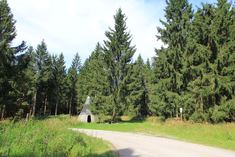
The oak tree planted here in his honor only grew to this height of 570 m above sea level after several attempts. It was felled at some point, probably in the post-war years. A newly planted oak tree is located next to the rest area, where the stamp box is also located.
The best starting point for a hike to the Kaysereiche is the Taternplatz parking lot on the B 242 above Bad Grund. From the parking lot, follow the forest path via Gewitterplatz to Kaysereiche and continue the hike via the signposted Harzklub trails to Oberer Hahnebalzer Teich HWN 141.
