Konradsburg Castle is located approx. 3 km south of the Falkenstein district of Ermsleben on the castle hill (236 m above sea level) and was founded to protect the Harz imperial estate.
After 1120, the Konradsburgs left the mountain spur and built Falkenstein Castle in the Selke Valley, after which they called themselves Falkensteiner from 1142 onwards.
A Benedictine monastery was founded on Konradsburg Castle and for the following centuries it was the cultural, social, spiritual and economic center on the eastern edge of the Harz Mountains.
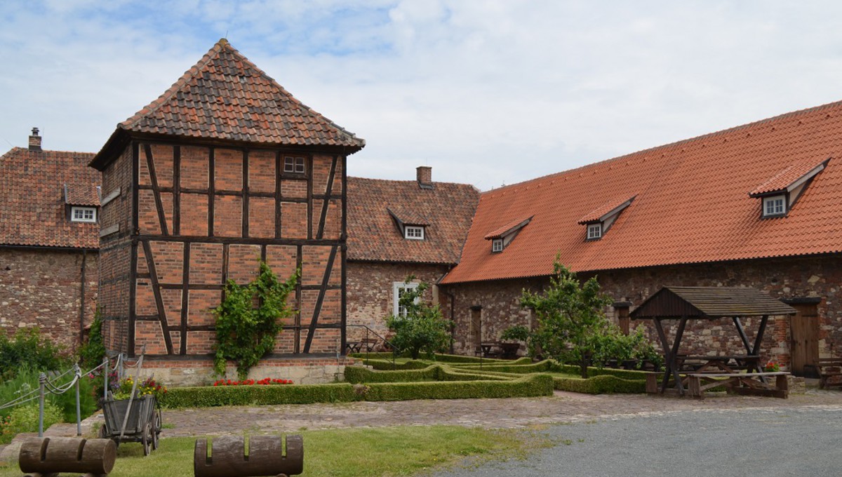
In 1712, Konradsburg Castle was put to agricultural use. In the center of the former cloister stands an old well house, a two-storey half-timbered building that probably dates back to the 18th century. It contains the well, which is over 45 m deep and probably dates back to the castle period, with its technical display – a donkey wheel. The other buildings were erected in the 18th and 19th centuries for commercial purposes.
Thanks to a citizens« movement launched in 1982, from which the Förderkreis Konradsburg e.V. was founded in 1990, it was possible to preserve the building fabric of all parts of the castle complex.
Below Konradsburg Castle lies the small settlement of „Burgrund“, from where a signposted hiking trail leads up to the castle. Another nice starting point is the Holländermühle mill near Endorf, from where signposted country lanes lead to the castle.
