The Stierbergsteich (550 m above sea level) is located between Sophienhof, Rothesütte and Benneckenstein.
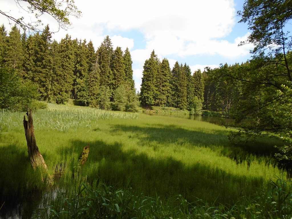
Like most ponds in the Harz Mountains, this one is not of natural origin. It was created artificially to dam up the impact water for the waterwheel located downstream of the pond. It was used to operate the pumps that lifted the mine water from the shafts. Mining around Benneckenstein was primarily for red iron ore.
The border between Saxony-Anhalt and Thuringia runs through the idyllic pond. The stamp box is located in the refuge.
We recommend combining the tour with a visit to the Ziegenalm HWN 97 and taking the 3.5 km hike from Sophienhof to the Stierbergsteich pond.
